

What’s New at Wildlands
Human History of Wildlands: Cow Tent Hill Preserve
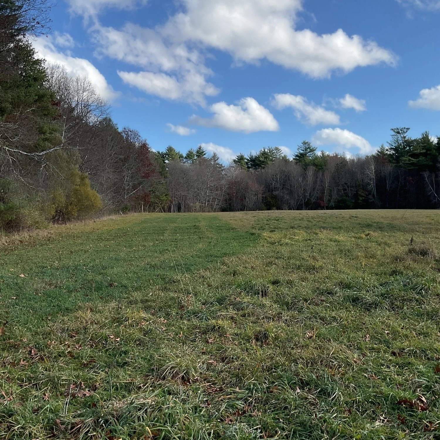
Throughout this “Human History of Wildlands” series, I have discovered time after time that in Southeastern Massachusetts, a land does not have to be large to be full of history. Cow Tent Hill Preserve in Duxbury is my latest example. Within 32 acres, the preserve encompasses a tidal creek, Duck Hill River, salt- and freshwater marsh, and wooded upland in Duxbury's Millbrook neighborhood.
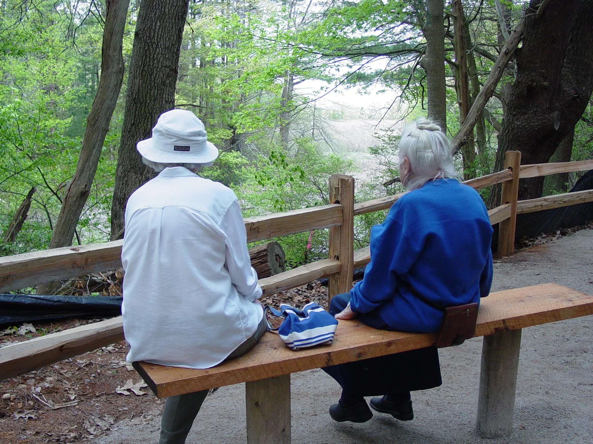
River overlook at Cow Tent Hill Preserve. Right: Helen Philbrick, who in 1994 donated Wildlands’ former headquarter property in Duxbury.
By Skip Stuck, Key Volunteer
Throughout this “Human History of Wildlands” series, I have discovered time after time that in Southeastern Massachusetts, a land does not have to be large to be full of history. Cow Tent Hill Preserve in Duxbury is my latest example. Within 32 acres, the preserve encompasses a tidal creek, Duck Hill River, salt- and freshwater marsh, and wooded upland in Duxbury's Millbrook neighborhood.
Early History
For over 10,000 years, Native peoples inhabited this area, drawn by opportunities for hunting, fishing, and shellfishing and access to nearby Duxbury Bay and trading routes like the North River. The Wampanoag Tribe, who lived in the area, called their home Mattakeesett, meaning "place of many fish." They, like other Native peoples living on the New England coast, thrived for many generations, as evidenced by the area’s 33 archeological sites recognized by the Massachusetts Historical Society. However, in the early 1600s, Natives came into contact with increasing numbers of European fishermen and trappers—and in turn with illnesses such as small pox, for which they had no immunity. Between 1600 and 1618, it is estimated that 80 to 90 percent of the local Native population died.
Consequently, when the Pilgrims arrived in 1620, they found relatively few Natives, but large areas of cleared fields ready for agriculture. It is said that Duxbury had as few as four Native families by 1620.
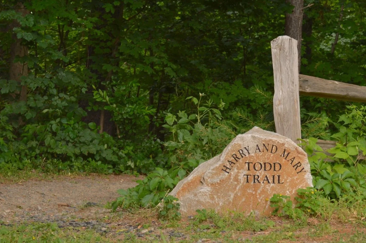
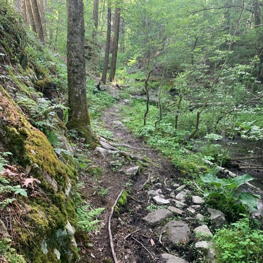
The Harry and Mary Todd Trail at Cow Tent Hill Preserve in Duxbury. Harry and Mary Todd also supported the protection of Willow Brook Farm in Pembroke, where another trail bears their name.
European Colonization
After a difficult start, many colonists followed the Mayflower to Plymouth Colony. Soon, the colony outgrew its original lands. In 1627, the contract with London investors that had funded the initial colonization expired, and leaders of the colony, such as William Brewster, Myles Standish, and John Alden, began allotting nearby lands to colonists. Brewster, Standish, and Alden all received lands in Duxbury. In 1639, Duxborrow (the town's original name) became the colony’s first incorporated town, after Plymouth. One of its early orders of business was to approve the construction of a grist mill on Stoney Brook. As the town grew, a fulling mill and textile mill were added. Stoney Brook became known as Millbrook, where a thriving village took root.
An aside here... Another early resident was Robert Mendame, who owned the land that became the site of the grist mill. His wife, Mary, is immortalized—unfortunately and perhaps unfairly—by an item in the Colony Court Records, which became Nathaniel Hawthorne's partial inspiration for The Scarlet Letter. It was recorded that Mary had a "dallyance" several "tymes with Tinsin, an Indian," and was to be "whipt at a carts tayle through the townes streets."
Others moved in after the initial Pilgrim settlers. One of note was Edouard BonPasse, an ancestor of the Bumpus family who bequeathed the Cow Tent Hill property to Wildlands Trust. Captain Benjamin Church also lived there in the years leading up the King Philip's War, where he became a renowned military leader.
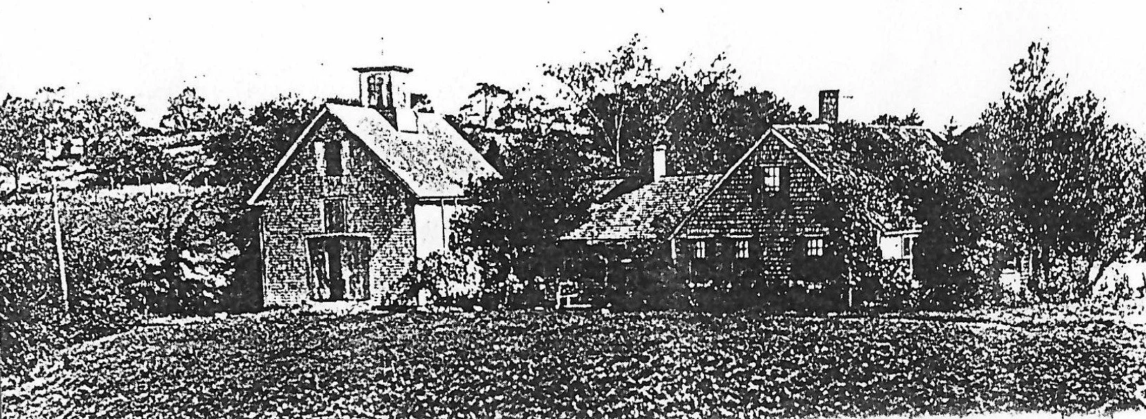
Crab Island House, built 1646. When Constant Southworth became the second owner of the Stoney Brook grist mill in the 1640s, he moved to this house, which was included in the purchase. Three generations of Southworths operated the grist mill. It was rebuilt it in 1746 and went out of business in the late 1800s with the arrival of the railroad in Duxbury. Constant Southworth was the son of Alice Carpenter Southworth, who married Plymouth Colony Governor William Bradford. Photo from Wentworth 1973 (see “Learn More”).
Post-Colonial Period
In the 18th and 19th centuries, industry flourished in Millbrook. Notable businesses included the Duxbury Woolen and Cotton Manufacturing Co. and the Ford Store, reputed to be the first department store in America. A rail line was also opened to transport these products to market. However, around 1900, the mills and businesses of Millbrook closed, unable to compete with the burgeoning textile manufacturing industry in Massachusetts' larger cities. But Duxbury's popularity as a vacation destination and residential community grew.
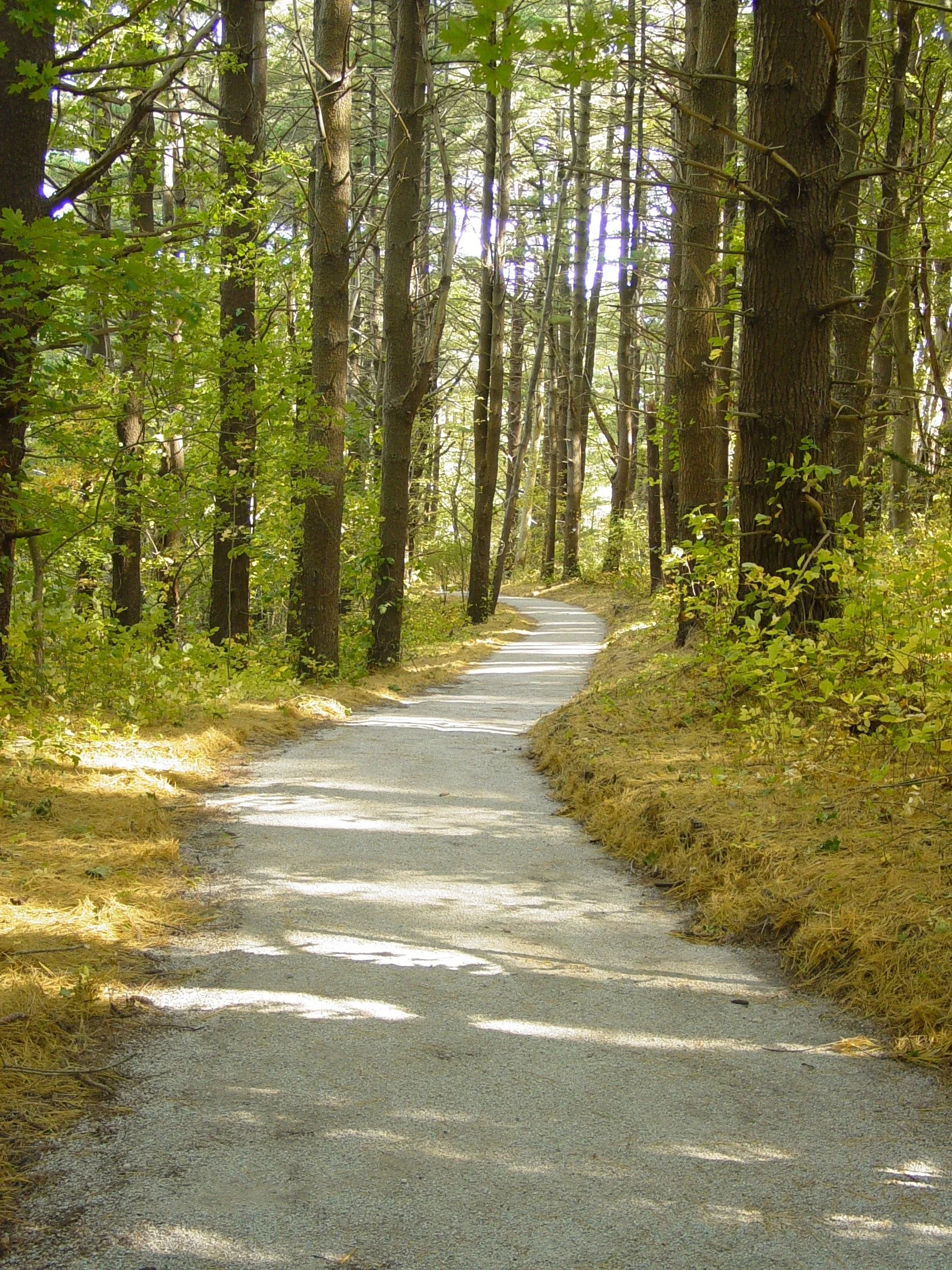
Cow Tent Hill Preserve.
What had once been called Stoney Brook and then Millbrook was then renamed to Duck Hill River. It returned more or less to the woods, fields, and marshes of 300 years earlier. The property became known as Cow Tent Hill because once it returned to pastureland, farmers would erect a canvas tent to provide shade for the grazing cattle during the heat of summer. As Duxbury became an upscale residential community, most farming also fell by the wayside. Yet the town strove to maintain its rural character, protecting over 3,000 acres of woods and marshland. In 1985, Wildlands Trust opened Cushman Preserve, donated by the granddaughter of Captain David Cushman, Jr., who had purchased the land from relatives of his wife, a direct descendant of John Alden. In 1999, Beatrice Bumpus bequeathed Cow Tent Hill Preserve to Wildlands.
A series of photographs of Cow Tent Hill from 500 years ago to the present would tell a story of stark landscape change. The area would have looked very different before and after 1620, when the Pilgrims first laid eyes on it. Fast-forward 150 years, and booming industry would have depicted a place transformed by people and time. Today, Cow Tent Hill has come close to full-circle, implying a pristine, uninterrupted past to the untrained eye. Yet human beings have always interacted with these wildlands.
We have not located these pictures, but that does not mean they do not exist. If you have photographic or any other evidence of Cow Tent Hill Preserve’s varied past, please reach out at communications@wildlandstrust.org.
We encourage you to visit the preserve for yourself. A property description and directions are available at our website: wildlandstrust.org/cow-tent-hill-preserve.
Learn More
If you would like to learn more about the human history of Millbrook's Cow Tent Hill Preserve, below are some of the resources that contributed to this piece:
The Settlement and Growth of Duxbury, 1628 to 1870, by Dorothy Wentworth, 1970.
A History of The Town of Duxbury, by Justin Winsor, 1849.
Wildlands Trust Cow Tent Hill Management Plan, 2011.
North and South Rivers Watershed Alliance: nsrwa.org
The Duxbury Rural and Historical Society: duxburyhistory.org

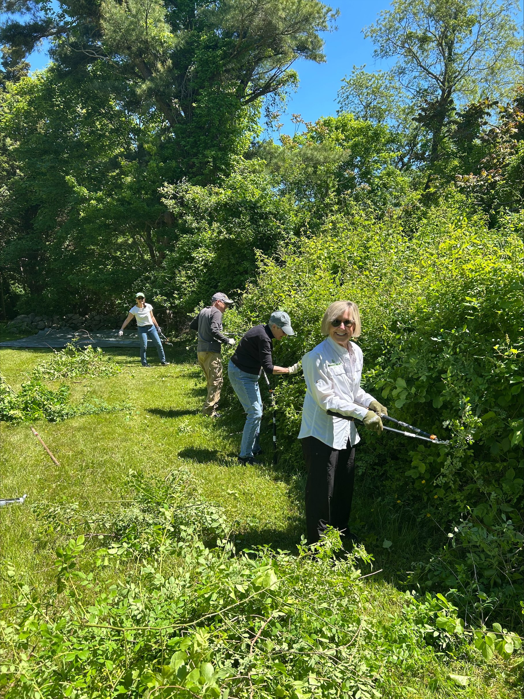
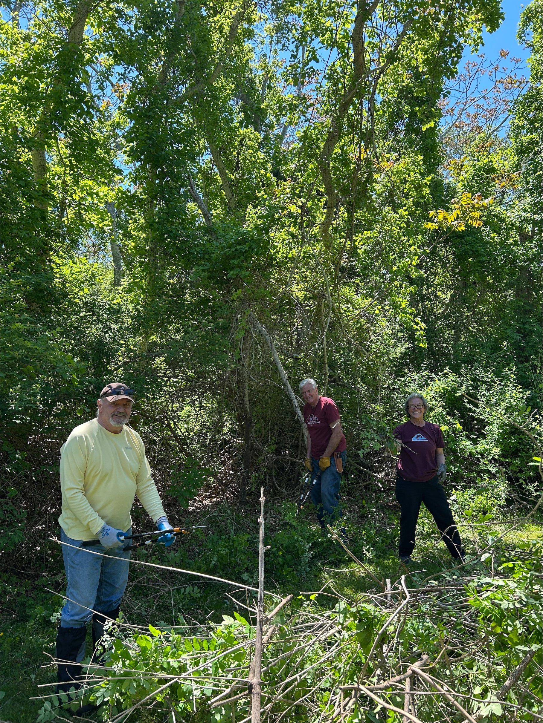
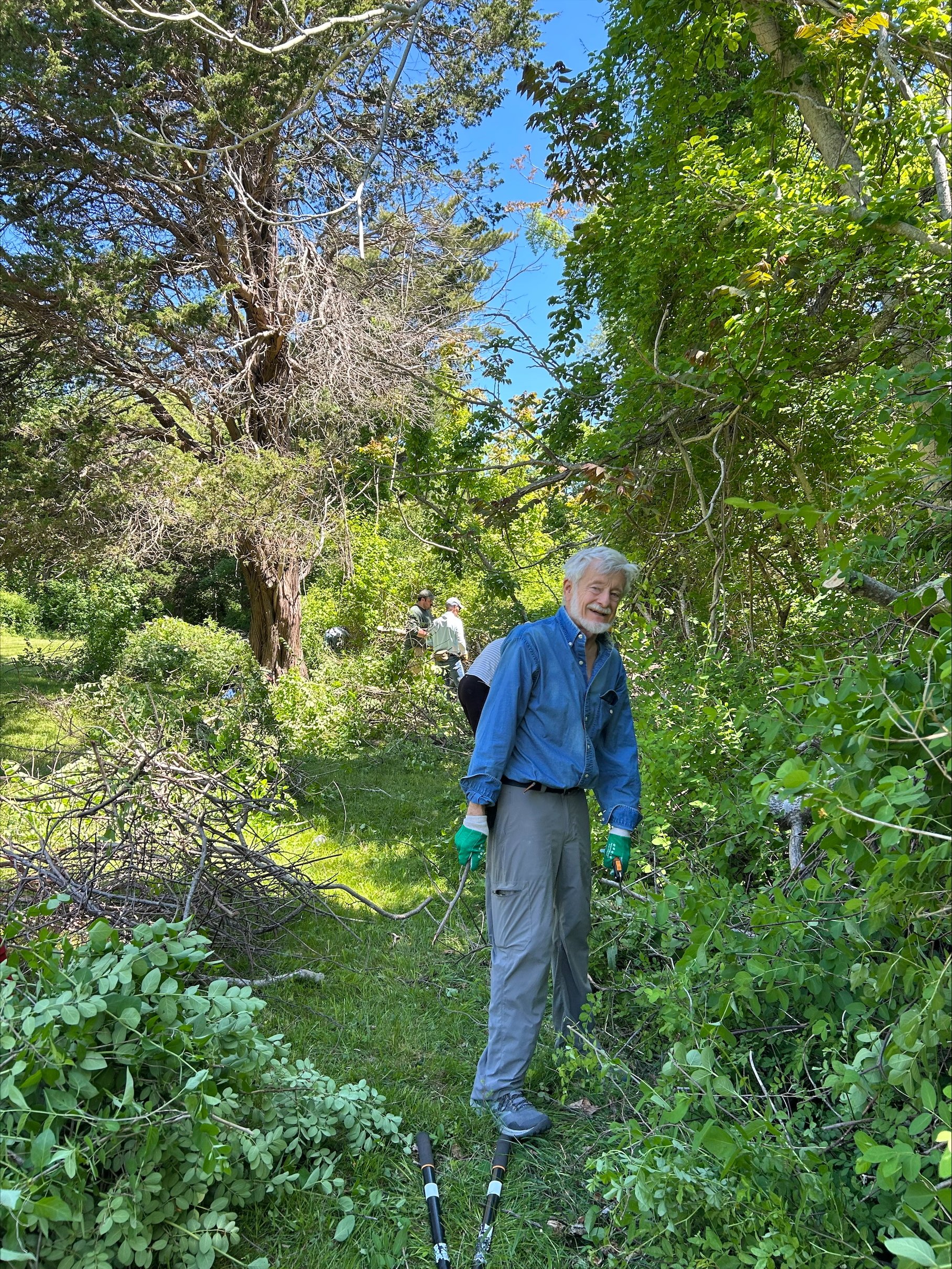
A VolunTuesday to Remember at Clark’s Island

By Marilynn Atterbury, Wildlands Trust board member & Key Volunteer
As a Wildlands Trust volunteer for over 11 years, I have seen many Wildlands preserves, many times over. So, you can imagine my excitement when I found out that on a special VolunTuesday in May, we would be venturing to a brand-new location, one that our fleet of pickup trucks couldn’t reach. On May 27, about 20 Wildlands staff and volunteers voyaged across Duxbury Bay to help the Duxbury Rural & Historical Society (DRHS) maintain its beautiful property on Clark’s Island.
Picture this: a beautiful Grady-White Boat with 300-horsepower twin engines flying across Duxbury Bay on a perfect May morning. The VolunTuesday crew was beyond excited for our adventure.

After wading through knee-deep water with chainsaws, loppers, and lunch in our arms, we proceeded to our mission for the day: removing invasive plant species from the meadow around Pulpit Rock, or what some consider the true Plymouth Rock!
DRHS owns 17 acres of land on Clark’s Island, which today is part of Plymouth. (Wildlands helps care for DRHS properties through our Community Stewardship Program.) In 1620, Mayflower passengers, led by first mate John Clark, made landfall on the island before they reached the Plymouth mainland. There, they found an enormous boulder and held their first worship service ashore.

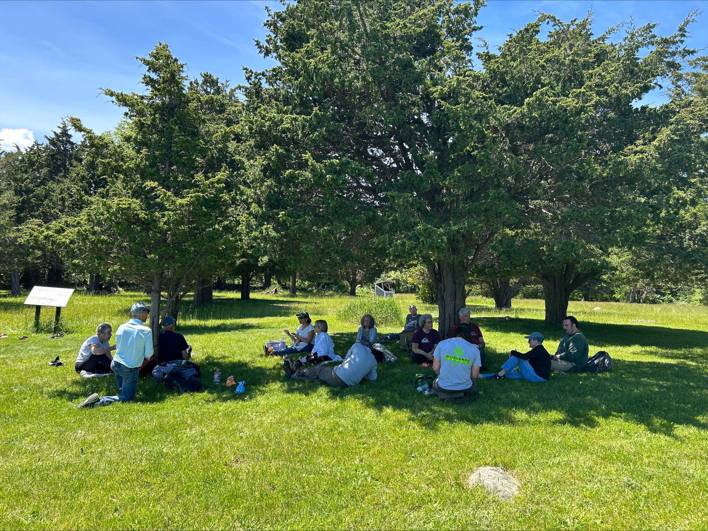
The VolunTuesday crew at Pulpit Rock on Clark’s Island.
It’s important to acknowledge the darker side of history on Clark’s Island. During King Philip’s War (1675-1676), Plymouth Colony used the island as an internment camp to detain over 1,000 Indigenous people, many of whom starved to death. You can read a more detailed account of Clark’s Island history, along with a land acknowledgment, on the DRHS website.
Back to the present. It was a long, arduous VolunTuesday, interrupted only by a fantastic lunch on the lawn facing the Bay. We accomplished so much and learned so much about the history of Clark’s Island. Spirits were high as we motored back home. Everyone agreed it was one of the finest volunteer programs we had ever participated in.
***
Want to explore new places, join a fun-loving community, and give back to local nature? Explore upcoming VolunTuesday projects here!


Land Protection Update: Duxbury, Scituate, Cohasset

Bates Lane Conservation Area in Scituate.
By Scott MacFaden, Director of Land Protection
Editor’s Note: This land protection update first appeared in the Spring 2025 issue of Wildlands News, our biannual print newsletter for Wildlands Trust members. Be the first to hear about Wildlands projects and events by becoming a member today at wildlandstrust.org/membership.
Another Duxbury CPA CR in Hand
In November 2024, we completed the DeLorenzo Community Preservation Act (CPA) Conservation Restriction (CR) in Duxbury.
The 27-acre DeLorenzo property was a priority for preservation primarily because of its direct proximity to the northern portion of the Historic O’Neil Farm, potential to support agricultural activities, wildlife habitat value in the form of two potential vernal pools, and location within a Zone II Wellhead Protection Area.
Duxbury residents approved the purchase of the property at the Annual Town Meeting in March 2018, and the Town closed on the land in October 2018. The Town used CPA funds to acquire the Property. The Town is granting the CR to Wildlands to comply with the CPA’s requirement that every CPA-funded open space acquisition be protected with a CR running to a qualified third-party entity.
The DeLorenzo property in Duxbury, along its boundary with the O’Neil Farm.
The DeLorenzo parcel is irregularly shaped and includes two non-contiguous areas of road frontage on Route 53. Apart from a cleared area in its center and a rectangular strip of open field running parallel to its southern boundary line with the O’Neil Farm, the property is primarily wooded. It includes two distinct areas of mixed deciduous/coniferous wooded wetland, with the largest such area extending southwesterly into the O’Neil Farm. Topography is mostly level.
A local farmer licenses a portion of the DeLorenzo property from the Town to raise sheep, goats, and chickens, and maintain beehives. The farmer’s future plans include constructing hoop houses to grow produce and establishing a seasonal farmstand.
Wildlands Accepts Assignment of Two CRs in Scituate and Cohasset
On May 1, in the latest of a series of partnerships with local land trusts in our service area, we accepted an assignment of two CRs comprising 98.4 acres, mostly in Scituate and partially in Cohasset, from the Maxwell Conservation Trust. Formed in 1997, the Scituate-based all-volunteer land trust is legally dissolving and identified Wildlands as a qualified entity to accept the CR assignments.
Over the past two decades, we have collaborated with several all-volunteer land trusts that determined their most prudent option was to transfer their assets and then dissolve, including the Swansea Land Trust, the Milton Land Conservation Trust, and the Brockton Audubon Society.
Bates Lane Conservation Area in Scituate.
Both CRs protect land owned by the Town of Scituate and located within a 330-acre expanse of Town conservation land known as the Bates Lane Conservation Area.
Completed in 2007, the Moncy CR protects 45.3 acres along the north side of Bates Lane and two smaller contiguous parcels situated approximately 1,000 feet to the north. All three parcels are primarily wooded upland but include pockets of wetlands. The Moncy CR is situated within areas the Commonwealth’s Natural Heritage and Endangered Species Program (NHESP) identifies as significant wildlife habitats.
Completed in 2011, the Wheelwright-Bjorklund CR protects 53 total acres—51.1 acres in Scituate and 2 acres just over the municipal boundary in Cohasset. The land protected by this CR is primarily wooded and mostly upland, with variable topography. The Wheelwright-Bjorklund CR is also situated within multiple areas NHESP identifies as significant wildlife habitats.
The CRs represent our first acquisitions of any kind in Scituate and Cohasset.
We thank the Maxwell Conservation Trust for its years of dedication to preserving land, and for entrusting these CRs to our stewardship.