

What’s New at Wildlands
Human History of Wildlands: Old Field Pond Preserve
Like the Winslows in last month's history of Hoyt-Hall Preserve and the Barkers of Willow Brook Farm, Old Field Pond Preserve’s history is as much about a family as it is about a parcel of land. Whenever a family is associated with a landscape over a long period of time, their imprint is palpable. You'll see this clearly in the story of the Ingersolls.
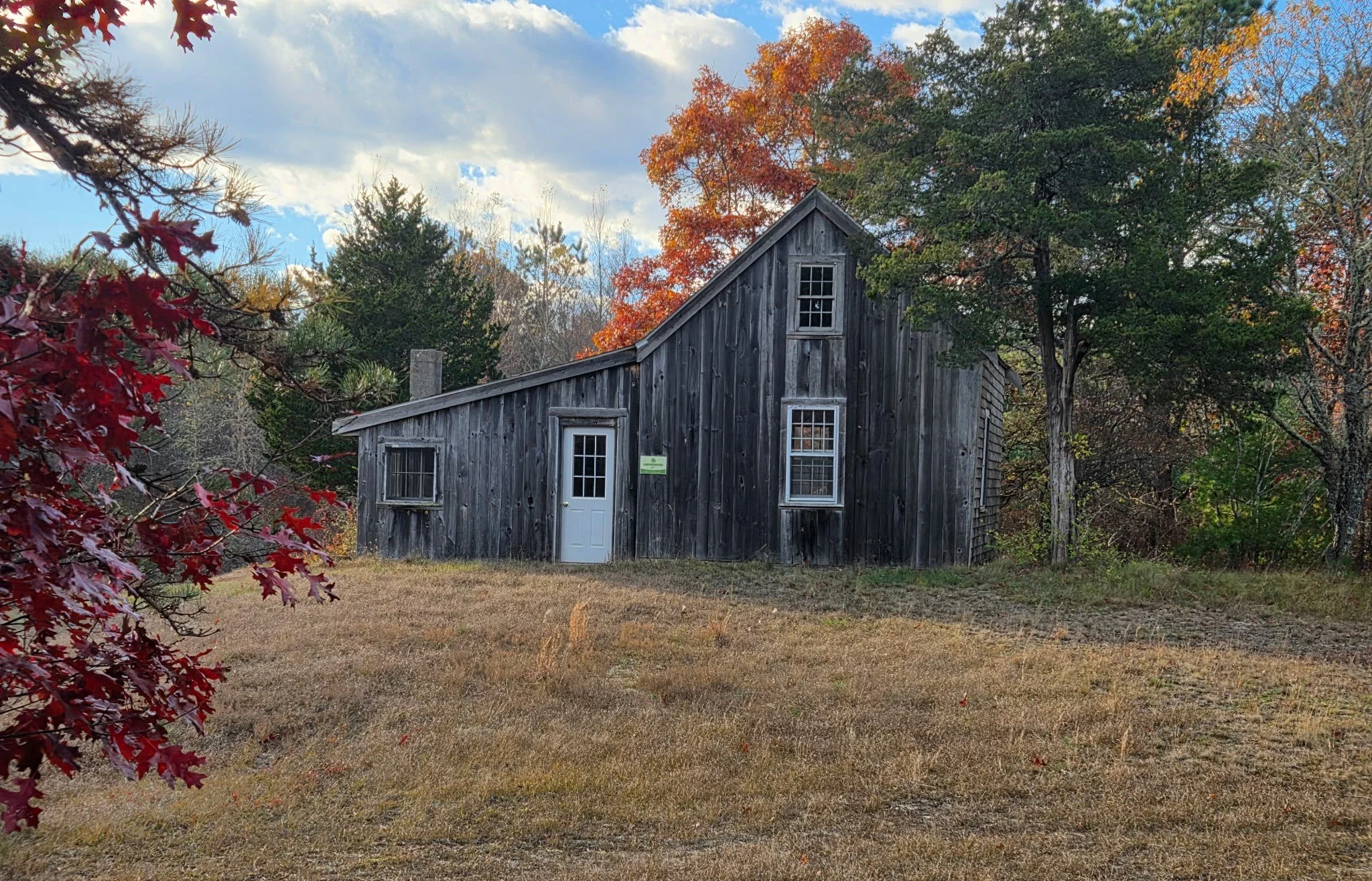
The cranberry shack at Old Field Pond Preserve once housed the bog supervisor.
By Skip Stuck, Key Volunteer
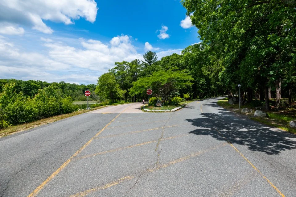
Old Field Pond Preserve is a 145-acre property on Bournedale Road in the town of Bourne. It boasts a wide variety of features—ponds, fields, wetlands, and forests. Wildlife including waterfowl, deer, coyotes, small game, and endangered northern red-bellied turtles are abundant. Rare plant life, such as the Plymouth gentian and carnivorous sundew, find refuge here. It is a truly wonderful place.
Readers who are familiar with Wildlands’ properties might never have visited or even heard about Old Field Pond Preserve. Although it is one of Wildlands’ most beautiful properties, it has no open public access, so Wildlands does not highlight it on its website. The preserve is "landlocked" by private property. Although there is no parking and visitors may not walk in on their own, there are many opportunities to enjoy the property. More on this later.
Like the Winslows in last month's history of Hoyt-Hall Preserve and the Barkers of Willow Brook Farm, Old Field Pond Preserve’s history is as much about a family as it is about a parcel of land. Whenever a family is associated with a landscape over a long period of time, their imprint is palpable. You'll see this clearly in the story of the Ingersolls.

Hike & Hops at Old Field Pond Preserve in November 2023.
Early history
As the glaciers retreated about 12,000 years ago, meltwater flowed south and created a myriad of rivers and streams in the outwash plains. Native Americans soon took advantage of the opportunities for fishing and shellfish and settled the area that they called Comassakumakanit. What was known as the Manomet River by the Natives and Monument to the English flowed from Great Herring Pond into Buzzards Bay. As its name indicates, Great Herring Pond was rich in herring, and its banks were moist and fertile to farm. The area was and still is home to the Herring Pond Wampanoag Tribe.
The Tribe continues to own 400 acres near Old Field Pond Preserve. Chamber Rock, Burying Hill, Wishing Rock, and Sacrifice Rock are all local features of cultural and historical significance to the Tribe. This year, scientists used ground-penetrating radar to locate old Wampanoag burials at Burying Hill, providing new evidence in support of the Tribe’s oral history dating back centuries. The Herring River Trail, now called Herring Pond Road, and Bournedale Road are important ancient thoroughfares still in use today.

Historical plaque at Burying Hill, near Old Field Pond Preserve in Bourne. In addition to a burial ground, the area was the site of the first meeting house for Native Americans in Plymouth Colony.
European settlement
At the mouth of the Monument River, about a mile from Old Field Pond Preserve, is the Aptuxet Trading Post, founded in 1627 by the Dutch from New York and the Plymouth Pilgrims. It is reputed to be the first such post in New England and the site of the earliest recorded use of "Wampum," beads made from quahog clam shells as currency.
As Plymouth Colony expanded south to Cape Cod, the first town to be established was Sandwich in 1637. The area now known as Old Field Pond Preserve was in the western section of town. Among its first settlers was Colonel John Bourne, patriarch of a family influential in the area for the next 250 years. In 1695, the Herring River Grist Mill was built. Timber, shipbuilding, farming, salt hay production, fishing, and glassmaking were the principal industries for the area, with cranberry production becoming increasingly important along the way.
In the 1780s, the main house on the Old Field property was built and occupied by the family of Jonathan Bourne. It was also the site of the West Sandwich post office. By the late 19th century, other businesses grew in the area, including the Holway Axe Factory and the Keith Car Works. A railroad line also served the area. The growing community soon decided to break away from Sandwich, and in 1884, the town of Bourne was incorporated.
At about this time, the area surrounding Old Field consisted of a large section of woods and farmland. It was known as Colonel Horton's Fishing Club, a private enterprise catering to the emerging summer tourist industry. Change was on the horizon. The Monument River was to disappear as work on the long-contemplated Cape Cod Canal began. Completed in 1914, the canal split Bourne in half, putting the area's fishing industry in jeopardy. So that the Cape wouldn't become an island, three bridges were built, one for trains and two for ground transport. The Bourne Bridge will soon come into play in this history.
The Ingersoll era
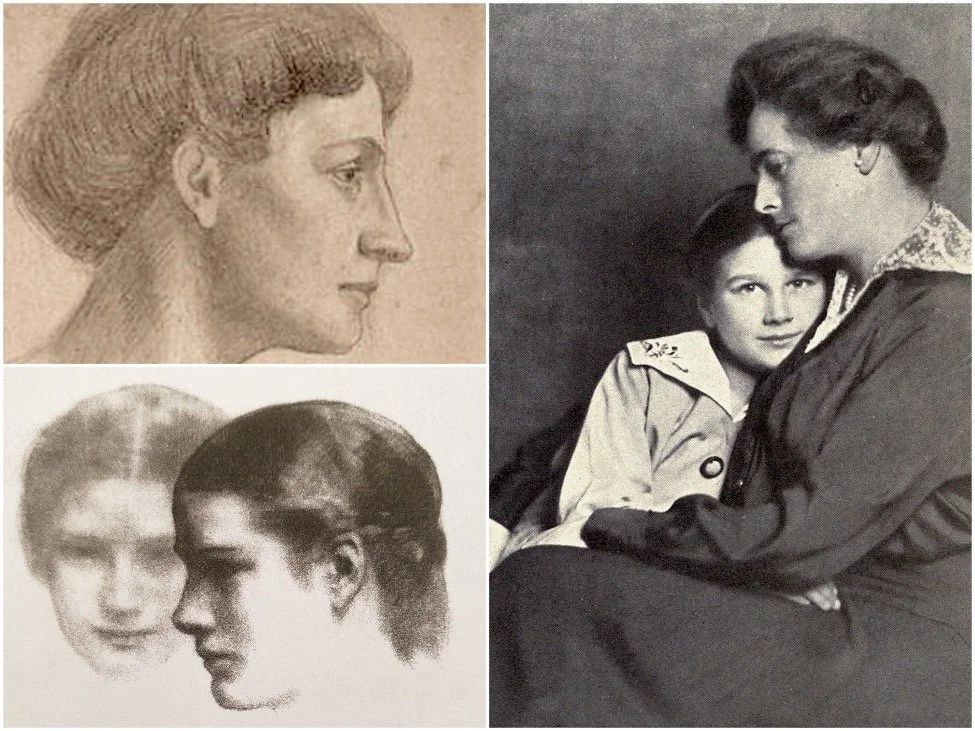
Kahlil Gibran’s sketches of 14-year-old Hope Ingersoll while staying at Bay End Farm in 1918. Via kahlilgibran.com.
In 1906, the fishing club was sold to the Garland-Ingersoll family, led by Mary Tudor Garland Ingersoll, who immediately transformed the 900-acre lot into Bay End Farm.
Mary and her husband were wealthy socialites. Mary was a well-known and passionate patron of the arts. She immediately set out to create a place for artists to stay, inspire each other, and create. She had prefabricated cottages built for artists of all kinds to visit, several of which are still in use today. Mary, a close friend of painter Georgia O'Keeffe, played host to many notable figures of her time, including Mark Twain and artist and writer Kahil Gibran, who wrote part of his famous book The Prophet while residing at the farm. The artist's colony flourished until the 1950s. The property was also made available to provide housing for military officers during World War I.

Postcard depicting Bay End Farm in the early 1900s.
Mary's other passion, and one carried on and championed by her daughter, Hope Garland Ingersoll, was the preservation of their farm, one of the last large properties in the area. At some point, Hope changed the name of Bay End Farm to Grazing Fields Farm. The property became well-known for its progressive land use, eschewing pesticides and herbicides, and for its livestock breeding, famous for its prize-winning Welsh ponies, Guernsey cattle, Montdale sheep, and Sealyham Terriers.

Grazing Fields Farm exists today as a horse farm on a portion of the Ingersolls’ original property.
Grazing Fields Farm operated in this manner until 1957, when Hope Ingersoll gained local and even national fame during her 25-year fight to save the property from a state highway expansion. The project’s goal was to speed up summer automobile access to the Bourne Bridge. Officials would have invoked eminent domain to break up the Ingersoll property. Hope contested the state's architectural plan and privately paid architects to design an alternative route plan. In 1982, aided by new federal environmental regulations, Hope prevailed. The story gained recognition throughout the environmental movement and in the news, including the New York Times, whom Hope told, “I think it’s true that you can fight City Hall. But you’ve got to have a lot of persistence, and help—and luck. We started this long before anyone was worried about the environment. … We have always been concerned with protecting the land.”

Hope Ingersoll. Photo courtesy of Kofi Ingersoll.
Old Field Pond Preserve
In 1983, the Ingersoll family decided to donate 145 acres in the middle of their property to Wildlands Trust so it could be protected in perpetuity. This was the beginning of Old Field Pond Preserve. The name Grazing Fields Farm applies today to the horse farm on the southeast side of Bournedale Road. The rest of the historic Ingersoll land, abutting Old Field Pond Preserve on the northwest side of Bournedale Road, has reclaimed the name Bay End Farm. Hope’s grandson, Kofi Ingersoll, owns and operates this organic produce farm. In partnership with the Ingersoll family, Wildlands uses Old Field Pond Preserve in several ways. Wildlands and Bay End Farm staff and volunteers guide hikes on the property throughout the year. The farm also provides environmental education to Wildlands’ Green Team, Envirothon Team, and other youth programs, and assists Wildlands staff in the maintenance, trail trimming, and haying of the preserve.
We hope you will join us for our next guided hike or volunteer event at Old Field Pond Preserve. Sign up for our E-News and visit wildlandstrust.org/events to stay updated on the latest opportunities to explore this special place. You will not regret it.

Kofi Ingersoll. Photo by Drew Lederman.
Learn more
Resources utilized in researching this history include:
The Herring Pond Wampanoag Tribe: herringpondtribe.org
Bourne Historical Society: bournehistoricalsociety.org
American Aristocracy: americanaristocracy.com
Grazing Fields Farm: grazingfields.com
Kahil Gibran website: kahlilgibran.com/latest/132-the-house-of-the-prophet-gibran-at-mrs-garlands-farm
"Farmer Wins 25 Year Fight over Cape Road," New York Times, 10/10/82: nytimes.com/1982/10/10/us/farmer-wins-25-year-fight-over-cape-road.html
50 Remarkable Years, 50 Remarkable People, “The Ingersoll Family,” Wildlands Trust: wildlandstrust.org/anniversary-book-blog/2024/4/9/ingersoll-family
Interview with Kofi Ingersoll, 10/31/25.
A special thanks to Kofi Ingersoll for his recollections and photos, and to Thomas Patti for editing this history.
Local Lens: Q&A with Wildlife Photographer Peter Yekhtikian
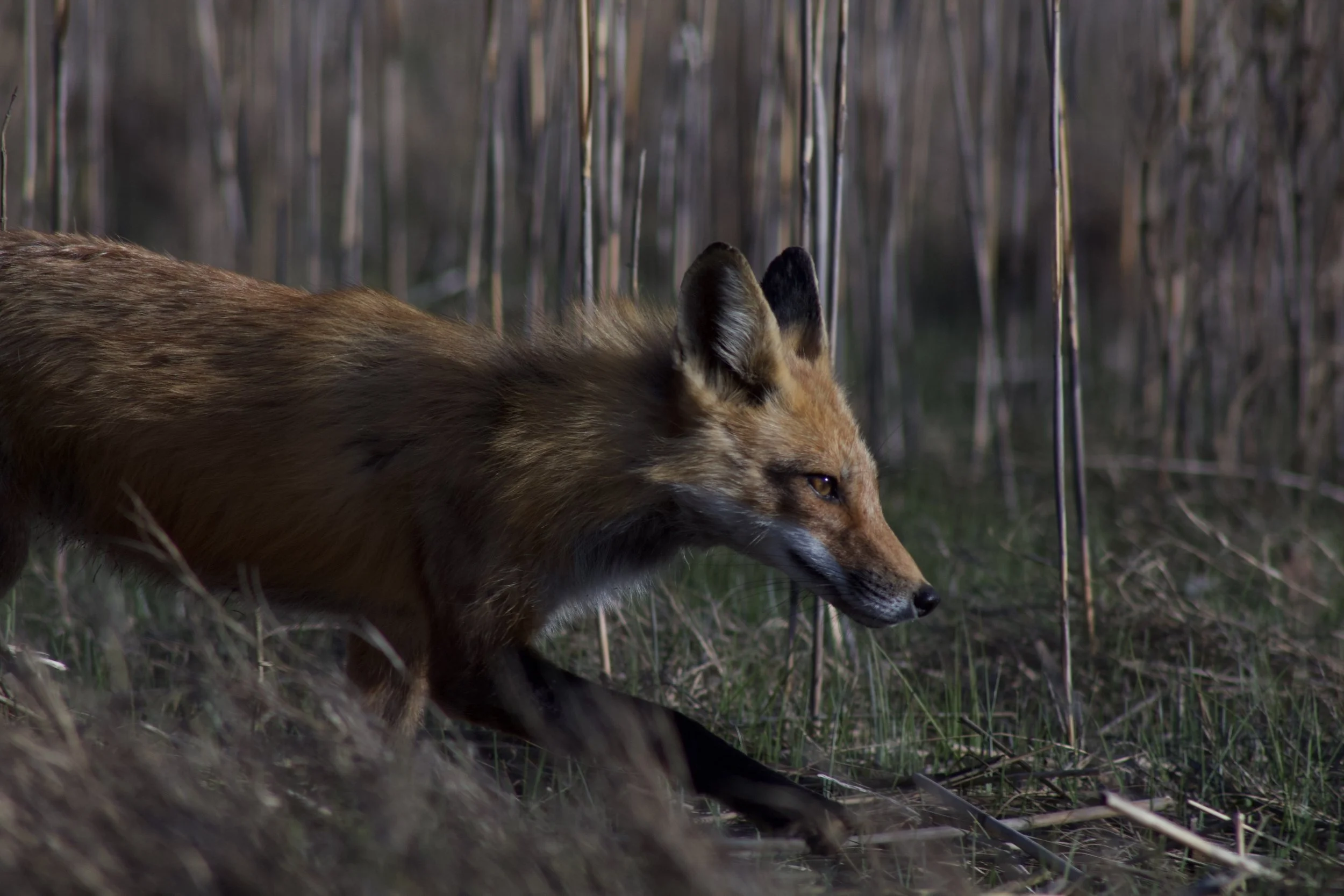
Red fox at The Nook Preserve in Kingston. Photo by Peter Yekhtikian.
By Thomas Patti, Communications Coordinator

Peter Yekhtikian.
Many pursue wildlife photography as a retirement hobby. For Peter Yekhtikian of Kingston, it’s anything but. For starters, Peter is 16 years old, a junior at Rising Tide Charter Public School. Wildlife photography is also more than a hobby for Peter. Already, he has leveraged his keen observation skills and prodigious naturalist knowledge to spotlight and protect his local natural areas—including The Nook Preserve in Kingston, where he volunteers as a Wildlands Trust Adopt-a-Preserve trail monitor. I spoke with Peter about what spurred this passion and why everyone should spend more time on their neighborhood trails.
This conversation has been edited for length and clarity.
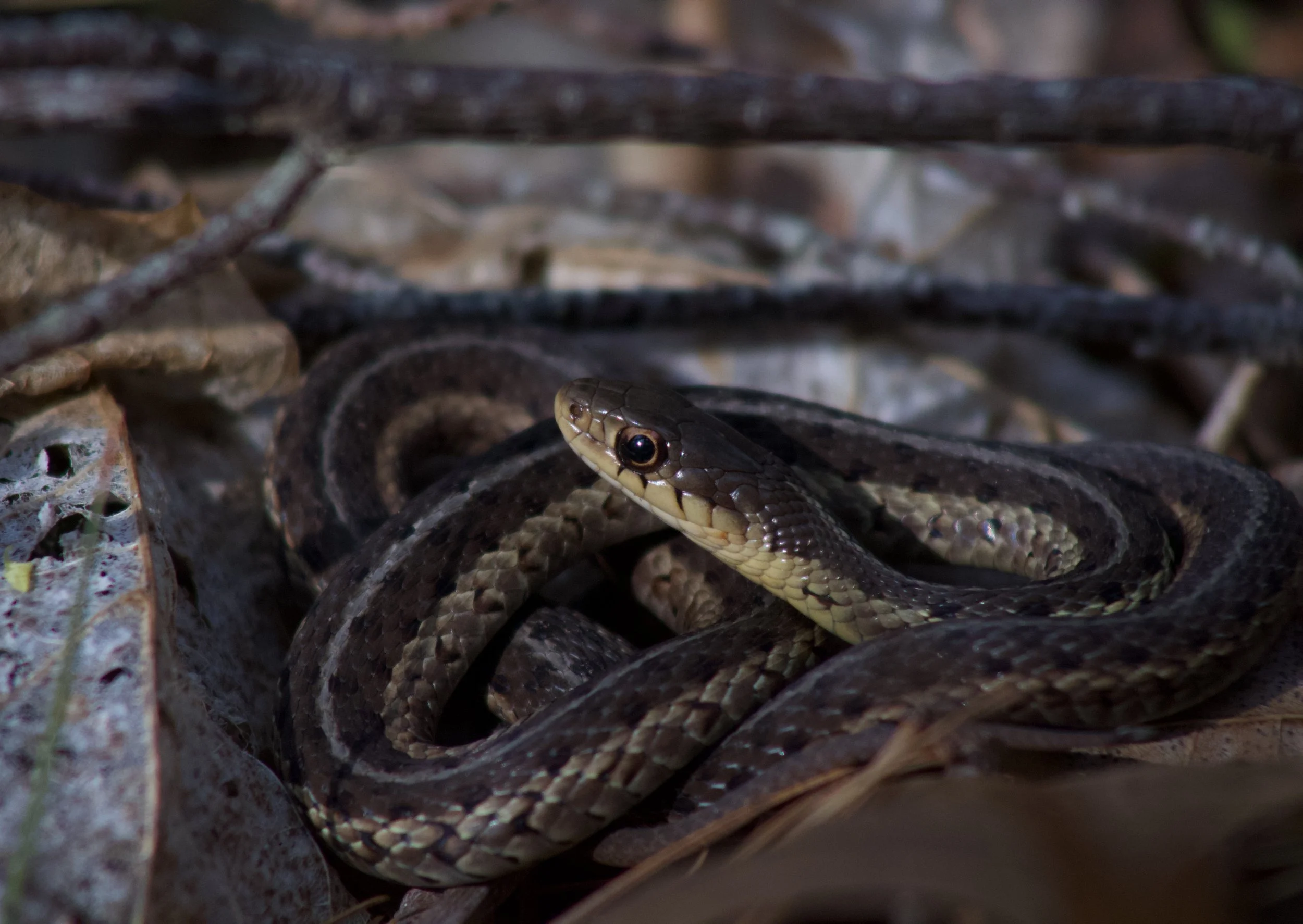
Eastern garter snake at The Nook Preserve in Kingston.
Thomas Patti: How did you get into wildlife observation and photography?
Peter Yekhtikian: I got into wildlife when I was about six. I loved watching Nat Geo documentaries and reading books about different animals.
When I was in fifth grade, we were watching the Bruins and heard screaming outside. We ended up figuring out where it was coming from and finding a fisher cat. It was crazy to see that in our neighborhood. That struck my interest in local wildlife.
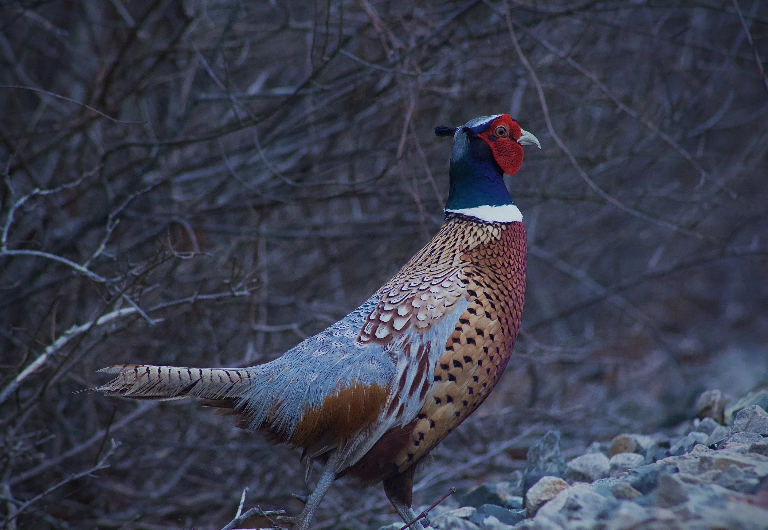
Then, I got a camera for my birthday. One day, we had a Ring-necked Pheasant in our yard, and our little dog was chasing it. I was like, ‘Oh, this is really funny and cool. What if I try photography?’ And I just started taking photos of anything flying overhead.
From there, I got into using eBird so I could document some of the stuff I was seeing. I'd go out into our woods and take photos of anything I could find, and then I'd try to identify it and put it on [community science platforms] iNaturalist and eBird. It’s kind of like a game: how many species can I see today?
Ring-necked Pheasant in Rocky Nook, Kingston. Photo by Peter Yekhtikian.
You seem content documenting wildlife in your own backyard—often literally. Why is that?
Kingston is just as important as anywhere else. Because of all the habitats here—freshwater and saltwater marsh, the open bay, forest, wetlands, fields—we get species that other places don’t. I think my record was 73 species observed in one day. That was awesome.
I feel like Kingston is underrepresented in terms of wildlife data. If I can show people how much stuff we have here, it may inspire them to explore local preserves that aren’t appreciated enough. I’ve met people at The Nook who said they had never known about the preserve until they saw an eBird checklist I submitted. It feels really nice to know that what I’m doing is inspiring people to go to these places.
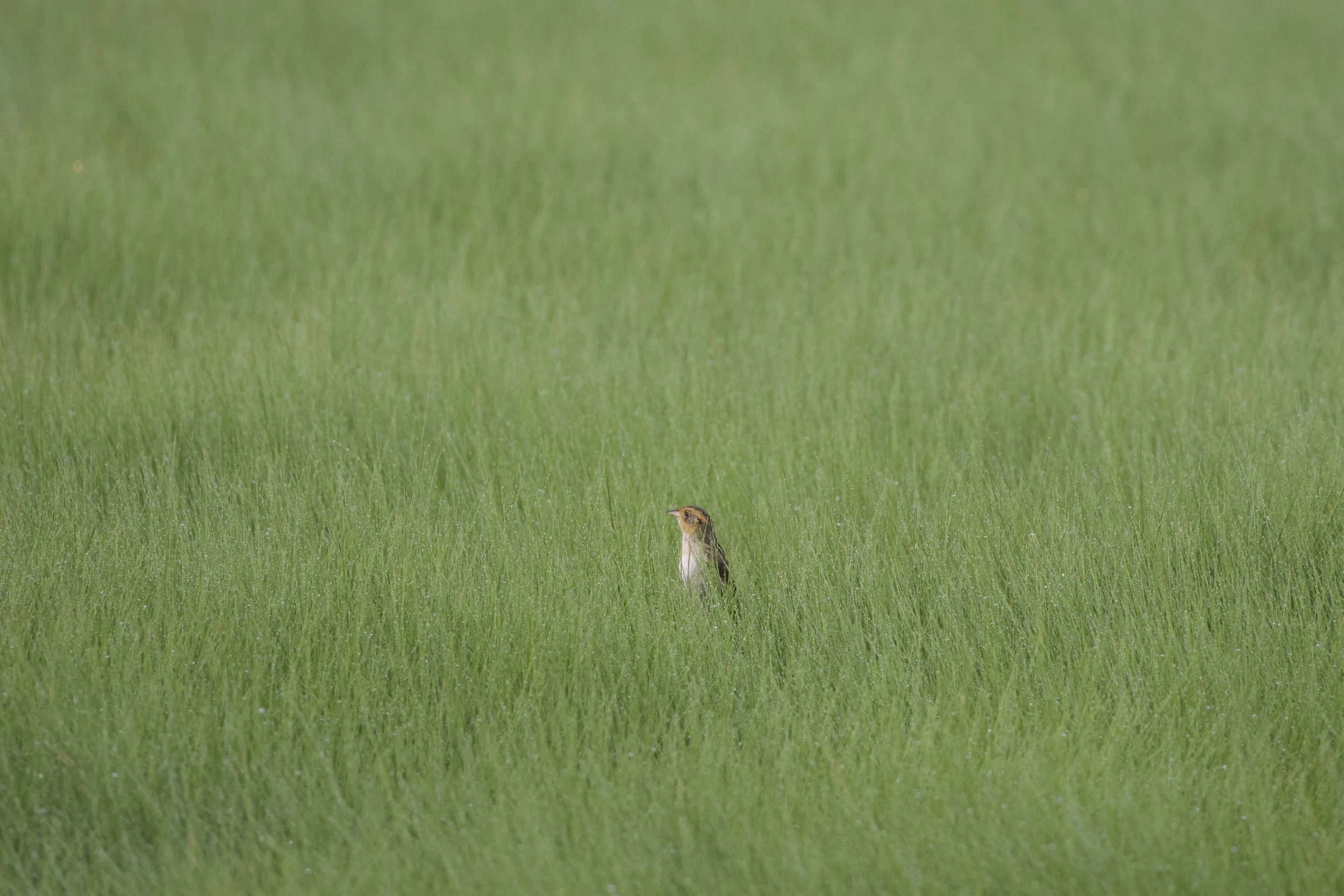
This summer, I interned with the Kingston Conservation Commission as a wildlife monitor. One day, I was checking the marsh in Rocky Nook, and I saw something fly out of the marsh. It was a sparrow, but it didn't fly like a Song Sparrow. It looked totally off. I was like, ‘Huh, what could this be?’ I ended up getting a photo, and I noticed a yellow streak on the eye. I was like, ‘Oh, wow. This is a Saltmarsh Sparrow.’ Mass Audubon’s most recent survey noted that Saltmarsh Sparrows had increased in population everywhere in Massachusetts except the South Shore, where there was no breeding activity at all. So, it was cool to see that they were breeding in our marshes. I don’t think anyone had ever checked, because no one really goes out there.
The Town of Kingston wanted to get a grant for adding more salt marsh hay into the marsh to attract Saltmarsh Sparrows. Now that we have evidence that they’re already breeding here, it’s going to be a lot easier to get that grant.
Saltmarsh Sparrow in Rocky Nook, Kingston. Photo by Peter Yekhtikian.
That is a great example of why communities should know and care about their local environment. What story do you hope to tell with your photos and videos?
The message is just to get outside and explore. Everyone should at least try to go into the woods. Just observe what’s around you. Everything is so fast-paced nowadays. Sometimes it’s nice to just slow down and get somewhere peaceful, where you’re not always on your phone, scrolling on TikTok or something.
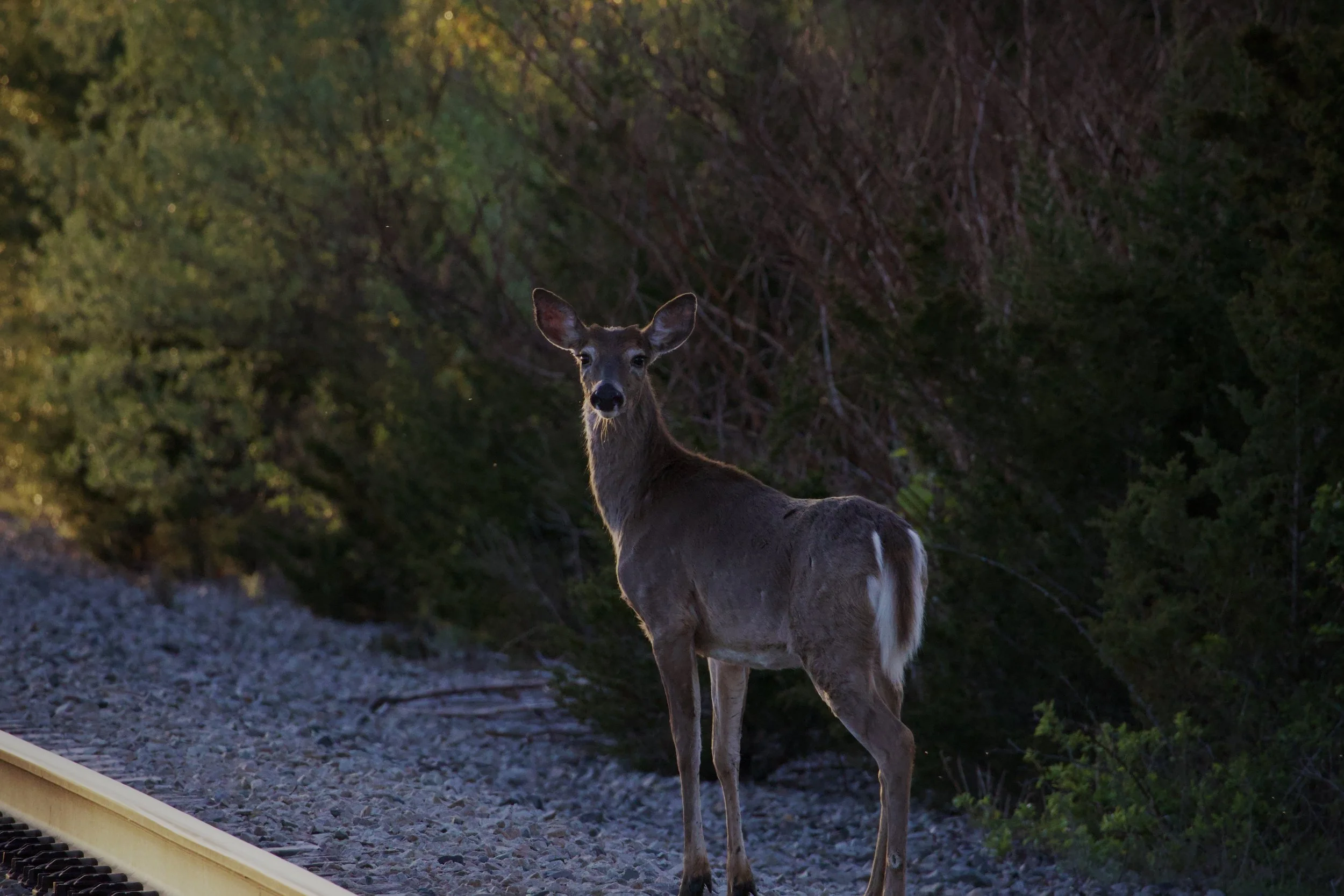
White-tailed deer in Rocky Nook, Kingston. Photo by Peter Yekhtikian.
You also serve as an Adopt-a-Preserve trail monitor. Why do you volunteer with Wildlands?
My dad is a member of Wildlands Trust. Last year, he got an email from Wildlands asking for volunteers at certain preserves, and one of them was The Nook. And it just kind of struck me that I already go there so much. Why not help out more officially with the organization?
I also went to Wildlands’ birdhouse building workshop at the Stewardship Training Center last spring. I really enjoyed it. Afterwards, my Uncle Ken and I wanted to build more birdhouses for Kingston. So, we met with the Town of Kingston’s Conservation Agent, Matt Penella, to decide where we should put them. That meeting led to my summer internship with the Town. So, Wildlands Trust is very connected to my conservation story.
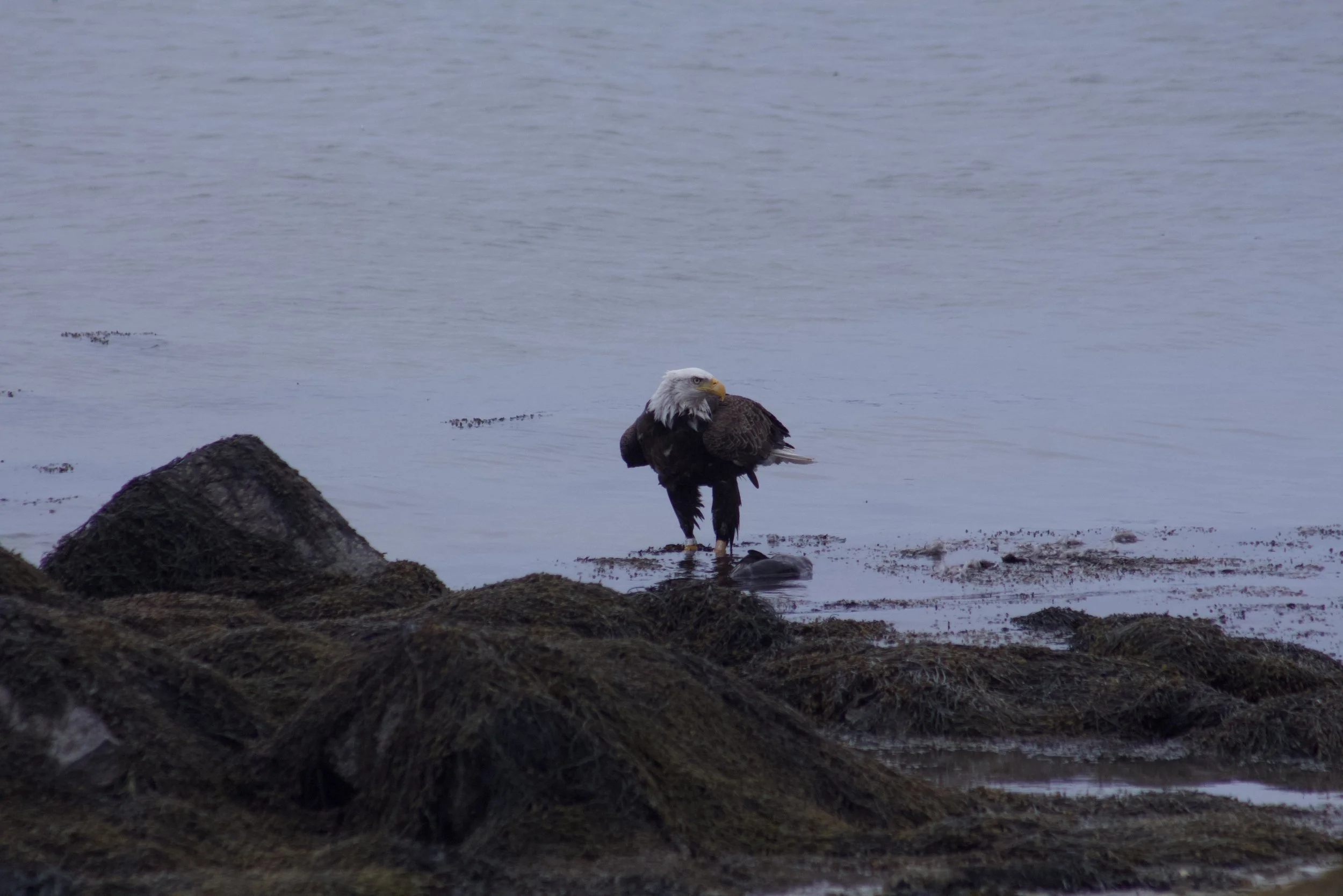
Bald Eagle in Rocky Nook, Kingston. Photo by Peter Yekhtikian.
Any other memorable wildlife experiences?
Last year, I was walking in the marshes, and I saw something that caught my eye. It was a fox running around the marshes. He was pretty far away, but then he kept getting closer and closer. I think he got within three feet of me, which was really, really, really cool to see. And he was almost playful with me. He was rolling around near me. It was just this wild animal, right next to me.
What’s next for you? Do you see a future in the conservation field?
I definitely want to do something revolving around conservation—either preserving nature or helping people work with it. I’m interested in going to college for environmental engineering.
In addition to photography, Peter captures video footage of Kingston wildlife using motion-activated trail cameras. Watch the video below for a compilation of Peter’s breathtaking work. View more on Peter’s YouTube channel, “Rocky Nook Trail Cameras.”
D.W. Field Park Initiative Awarded State MVP Grant
D.W Field Park in Brockton and Avon.
By Sam Butcher, D.W. Field Park Initiative Project Coordinator
On October 9, Lieutenant Governor Kim Driscoll and Undersecretary of Decarbonization and Resilience Katherine Antos announced the award of nearly $30 million in Massachusetts Municipal Vulnerability Preparedness (MVP) grants. Nearly $860,000 of these funds were awarded to the City of Brockton to promote climate resilience at D.W. Field Park. The award represents a significant step forward for the D.W. Field Park Initiative, which Wildlands Trust has led since 2022. Work under this grant will advance recommendations of the D.W. Field Park Master Plan, which Wildlands authored in 2024 in partnership with many stakeholders, including the City.
Rachel Bruce, Wildlands’ Chief of Staff and a lead author of the plan, is pleased with the progress. “The Master Plan generated a long list of improvement projects, requiring a lot of time, effort and money,” she said. “We’re grateful to the MVP program for funding the first major project since the plan’s release last year and look forward to continuing to work with the City of Brockton and our Initiative partners.”
D.W. Field Park, owned by the City of Brockton, spans over 700 acres and includes seven ponds and six miles of multiuse trails. It provides access to nature for over 200,000 residents. Projects outlined in the Master Plan range from redesigning the roadway to increasing accessibility for all residents. Projects will lead to safer roadways, greater recreation and trail access, and improved environmental conditions. Specifically, this MVP grant will fund the redesign of D.W. Field Parkway, which circumnavigates the park, with nature-based solutions to stormwater management. As climate change brings more frequent and intense storms to the park, increased stormwater runoff poses a risk to the health of the park’s ponds and lakes. Work will include land surveying, permitting, and construction-ready design plans.

Existing infrastructure empties stormwater from D.W. Field Parkway directly into open water bodies in the park.
“This is a big step forward for the Initiative,” Rachel Bruce added. “The Parkway is integral to both the user experience and environmental health of the park, and we have the opportunity to create a design that serves both needs. The community has repeatedly told us to fix the road, so that’s what we’re doing first.”
This award marks the second MVP grant for the D.W. Field Park Initiative. In 2023, the Town of Avon earned $1.5 million to purchase Fieldstone Preserve, 30 woodland acres adjacent to D.W. Field Park. New trails at Fieldstone Preserve will be introduced later this fall.
Read the press release from the Healey-Driscoll Administration here. Learn more about the D.W. Field Park Initiative and sign up for email updates here.
Human History of Wildlands: Hoyt-Hall Preserve, Marshfield
Hoyt-Hall Preserve in Marshfield is one of Wildlands Trust's most popular preserves. Acquired in 2000, the property was quickly designated as a "showcase" preserve owing to its diverse woodland and wetland habitats and associated wildlife. Containing 123 acres and bordering 82 acres of additional conservation land, Hoyt-Hall protects a significant assemblage of open space in a growing town.
Yet there is another story here. Hoyt-Hall's human history spans over 10,000 years of settlement and change.

By Skip Stuck, Key Volunteer
Hoyt-Hall Preserve in Marshfield is one of Wildlands Trust's most popular preserves. Acquired in 2000, the property was quickly designated as a "showcase" preserve owing to its diverse woodland and wetland habitats and associated wildlife. Containing 123 acres and bordering 82 acres of additional conservation land, Hoyt-Hall protects a significant assemblage of open space in a growing town.
Yet there is another story here. Hoyt-Hall's human history spans over 10,000 years of settlement and change. Archeological evidence shows that Native people followed the retreating Laurentide ice sheet north, first as nomadic hunters and soon as settlers. Remnants of permanent dwellings have been excavated in Marshfield, dating back at least 3,000 years. The area that now contains Hoyt-Hall Preserve was partly a saltwater marsh with access to the ocean, and shell deposits show that it was well utilized by the Natives for fishing. By 1600, it was used seasonally by the Wampanoag Tribe as a summer home to take advantage of these resources. They wintered on the lands known today as Lakeville and Middleborough. The Wampanoags called the present-day Marshfield area "Missacautucket," and Massasoit was their powerful sachem.
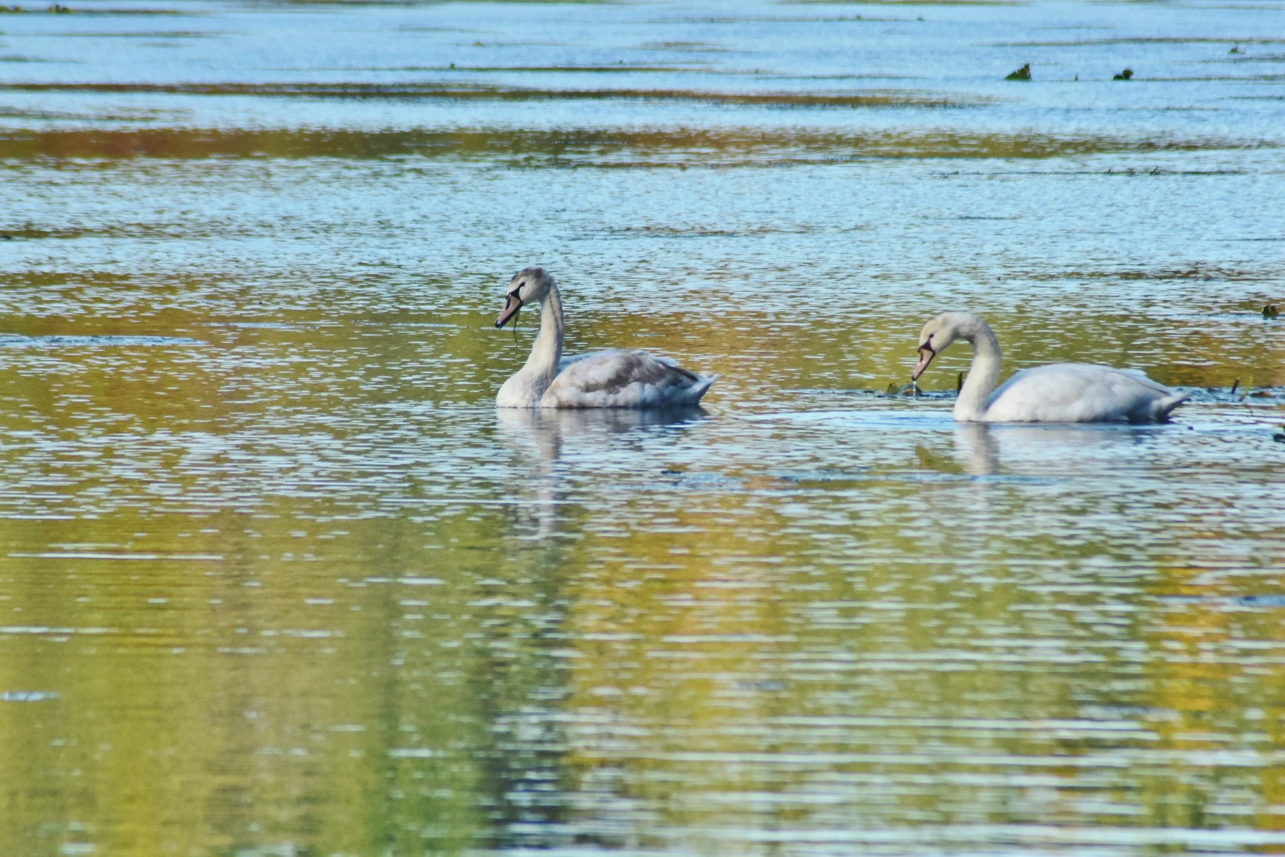
Swans on Long Tom Pond. Photo by Mike Arsenault.
The Value of Relationships
Upon the Pilgrims’ arrival to Plymouth Harbor, settling on lands outside the Colony's patent was prohibited. Early on, a few colonists managed to do so anyway. One was William Green in 1623, who established a commercial fishing post on what is now known as Green's Harbor. But general settlement was not permitted until 1632, when land grants began to be awarded. In 1636, Plymouth Colony governor Edward Winslow was granted a large tract of land, including the current Hoyt-Hall property. The Winslow family, along with the whole Plymouth Colony, was successful, due in large part to the strong relationship between Governor Winslow and the Wampanoag leader Massasoit, which endured for nearly half a century. More on the importance of relationships history later.
In 1637, the Pilgrim Trail, then called Green's Harbor Path, was the first general court-ordered road in the Colony. It passes along the border of Hoyt-Hall Preserve, as does King Philip’s path, an ancient and famous Native trail. Three Winslow family homesteads were built on the Hoyt-Hall property, much of which remained with the family until 1822. Two colonial governors, Edward and his son Josiah, lived and prospered on the land, as did Edward's adopted son, Peregrine White. White was born in 1620 on the Mayflower, becoming the first Englishman to be born in America.
In 1640, the Town of Marshfield (initially called Rexhame) was incorporated and grew quickly with new settlers. While many surrounding towns suffered much death and tragedy during King Philip's War in the 1670s, Marshfield remained relatively unscathed due to the Winslow family's strong relationship with the Wampanoag Tribe.
Hoyt-Hall Transformed
Because much of Hoyt-Hall was then tidal marshland, in 1675 a dam was built to create Long Tom Pond (named after a local Native who was killed in King Philip's War), providing a freshwater source first for general farming and later for cranberry growing.
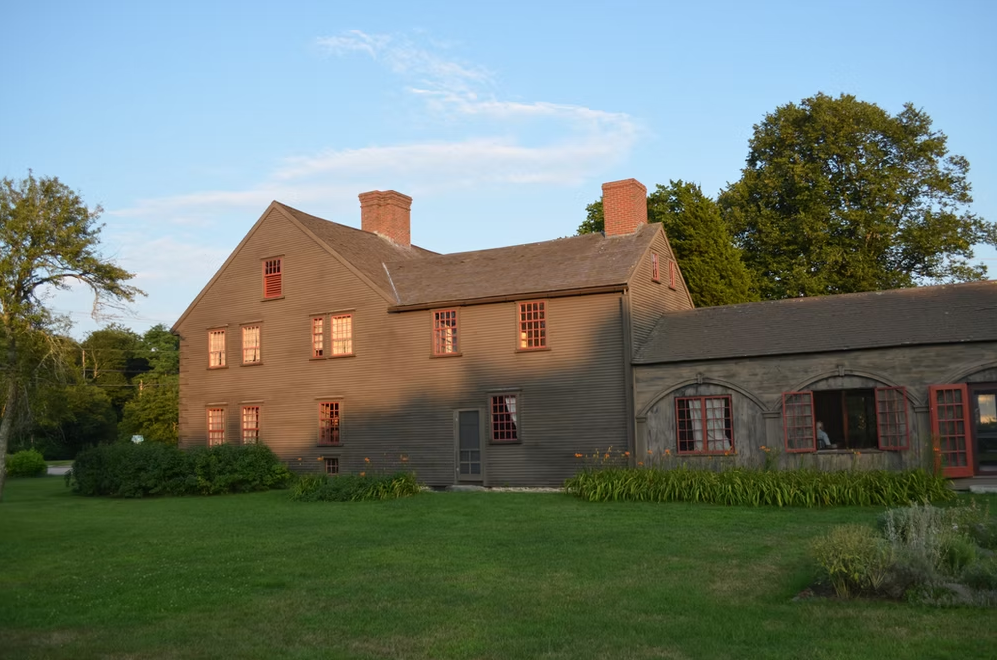
Historic Winslow House. historicwinslow.org
The Revolution
Directly adjacent to Hoyt-Hall Preserve is the Isaac Winslow house. Built circa 1699, it is the oldest home in Marshfield. Isaac was a well-known physician with a reputation for serving both settlers and Natives. He inoculated many against smallpox and other diseases in the early 1700s. However, as relationships between the colonists and the English crown deteriorated, the Winslow family became well-known Loyalists, and Isaac's house became a Loyalist meeting place. Relations between the Patriots and Loyalists were tense, and the Loyalists pressed for British troops to be brought in to protect them. A force of 114 troops landed, but fighting was eventually avoided, once again as a result of the Winslow family’s strong relationships with their neighbors.
Home of a Statesman
After the war ended, the Winslow family continued farming the property until 1822, when it was broken up and sold to a series of families. Some of the property returned to woodland, and some went to cranberry production. Some of it was sold to Daniel Webster, noted U.S. Congressman and Secretary of State, who lived in Marshfield from 1832 until his death in 1852. In 1884, Walton Hall purchased the Webster estate. In 1928, about 1,000 acres were purchased by Lincoln Hall, who converted some of the woodlands to cranberry bogs, which remained in production until the 1960s. During this time, the land began to take on the scenic character that we see today.
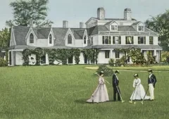
Daniel Webster Estate in 1859, as depicted on a 1909 postcard. From Patrick Browne, “The Almost-Battle of Marshfield.”
Protected Forever
In 2000, the land was sold to Wildlands with the assurance that it would be preserved in perpetuity, with beautiful trails for visitors to explore. In 2016, with funding from the Massachusetts Department of Conservation and Recreation’s Recreational Trails Program, a 1.75-mile trail loop was completed, with a parking lot on Careswell Street (Route 139). Today it is one of Wildlands’ most popular preserves, with many families enjoying this remarkable and historic property every year. Along with the adjacent Historic Winslow House, Hoyt-Hall Preserve's scenic beauty is forever linked to its rich history.
Back to Relationships...
So, you'll remember my earlier mention of the importance of relationships in the history of Hoyt-Hall Preserve. We too often think of the past in terms of events; i.e. wars, discoveries, and the like. We should not forget that nearly all historical events are either tempered or exacerbated by the human relationships that surround them. Had the Pilgrims not developed a strong relationship with Massasoit, Plymouth Colony would likely not have survived its first year. Fast forward 50 years, and it's clear that many lives were lost due to the souring of this relationship during King Philip's War. Be good to your friends.
Hoyt-Hall Preserve. Photo by Jerry Monkman.
Learn More
To learn more and visit Hoyt-Hall Preserve, explore wildlandstrust.org/hoythall-preserve. The following resources were utilized in researching this history:
“Books and History Converge at Hoyt-Hall: Former Landowner Honored by Family” by Amy Markarian, Wildlands Trust, 2022.
The Historic Winslow House: winslowhouse.org.
History of Marshfield Massachusetts by Lysander Salmon Richards, 1901.
“The Almost-Battle of Marshfield” by Patrick Browne, 2011.
“History of Marshfield,” Kiddle Encyclopedia.
“Our Story Not Theirs” by the Mattakeeset Tribe.
A special thanks to Mike Arsenault, Amy Markarian, and Thomas Patti for their assistance with this piece.
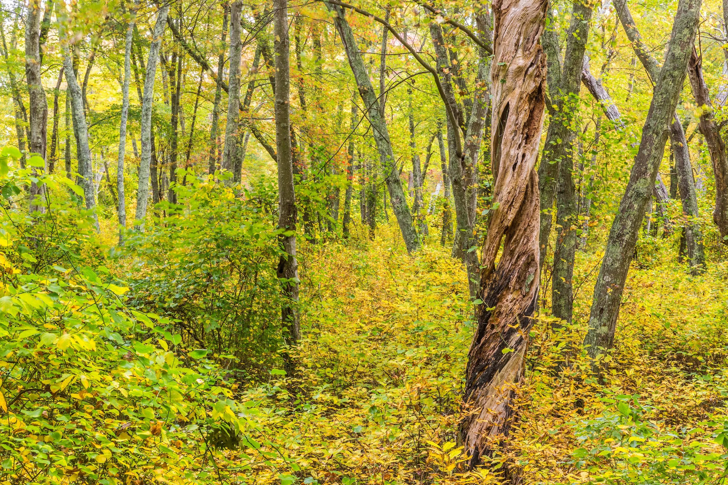
Staff Picks: Where to Explore This Fall
If the arrival of September in Southeastern Massachusetts has you dreaming of brisk mornings, cozy sweaters, and leaves crunching underfoot, you’re not alone. We at Wildlands Trust are already planning our autumn hikes, paddles, rides, and picnics.
Are you looking for new places to explore this fall? Our staff and volunteers have you covered! Read on for a selection of our favorite autumnal landscapes, where you just might find us leaf peeping, migratory bird watching, or spooky story telling this season.
A note on safety: hunting season begins in the fall, so please take care to protect yourself, your loved ones, and your pets while on the trails. Consult our hunting safety guidelines before you head out. (Spoiler alert: wear blaze orange!)
Happy fall from all of us at Wildlands! Please share your fall nature photos with us at communications@wildlandstrust.org. Explore our trails across Southeastern Massachusetts at wildlandstrust.org/trails.
Hoyt-Hall Preserve, Marshfield
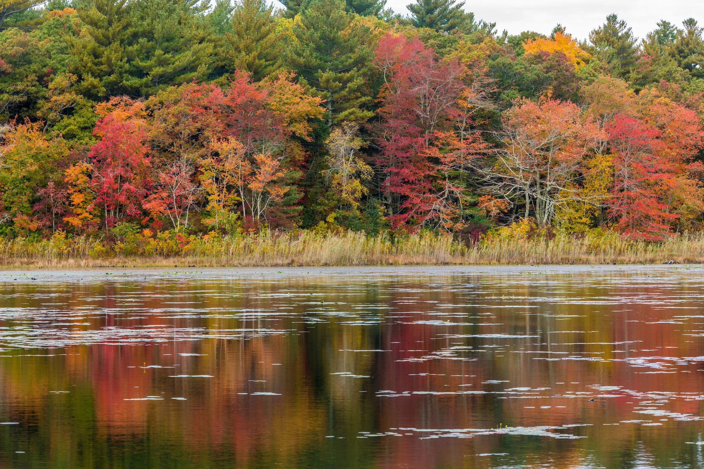
Photo by Jerry Monkman.
Trail map & property description: click here.
Rachel Bruce, Chief of Staff: The many deciduous trees show off their fall colors around Long Tom Pond, and a two-mile hike is perfect for a fall afternoon.
Tess Goldmann, Land Protection Assistant: I really enjoy Hoyt-Hall for its beautiful views of Long Tom Pond and its variety of different ecosystems you get to walk through. Plus, you can see all the red maples changing colors in October.
Great River Preserve, Bridgewater
Photo by Jerry Monkman.
Trail map & property description: click here.
Marilynn Atterbury, Key Volunteer: As the leaves begin to turn, there’s no place I’d rather be than Great River Preserve. In the fall, the landscape transforms into a landscape of color. The meadows are dotted with Joe-Pye weed, jewel plants, and goldenrod, creating a stunning display. The meadows also become a haven for monarch butterflies, which lay their eggs on the milkweed that thrives there. Meanwhile, the maples and oaks along the Taunton River put on a breathtaking show of scarlet and gold. It’s this vibrant tapestry of nature that makes Great River Preserve my favorite fall destination.
Scott MacFaden, Director of Land Protection: The Great River Preserve is a fall favorite of mine. While it shines at any time of year, it is particularly luminous in autumn because of its juxtaposition of open fields, woods, and the Taunton River. I like to leisurely hike along the edge of the fields before spending some time at the viewing platform overlooking the river—one of the most peaceful and contemplative locations in all of Southeastern Massachusetts.
Indian Head River Trail – Pembroke, Hanover, Hanson

Photo by Andrew Lederman.
Trail map & property description: click here.
Amy Burt, Programming Coordinator: My favorite preserve is the Indian Head River Trail, a four-mile loop that encompasses Wildlands' Tucker Preserve. This time of year, you can get a great view of the river with the leaves falling while walking down a cathedral of color. Year-round, I enjoy channeling my inner goat and climbing the rocks.
Great Neck Conservation Area, Wareham

Photo by Rob MacDonald.
Trail map & property description: click here.
Skip Stuck, Key Volunteer: I like Great Neck because it has a little of everything. Uplands, ocean, marshlands, a pond full of waterfowl in the fall, and vernal pools surrounded by red swamp maples.
Kyla Isakson, Membership Manager: I love the diversity of the landscapes at Great Neck. You get a little bit of everything: ponds, farmland, pine forests, and ocean views. An underrated showcase preserve that is great year-round.
Wyman North Fork Conservation Area, Bridgewater

Photo by Rob MacDonald.
Trail map & property description: click here.
Thomas Patti, Communications Coordinator: As one of our newest public preserves, Wyman North Fork Conservation Area (a partnership between Wildlands and the Town of Bridgewater) remains a hidden gem… for now. This fall, visitors will hear bluebirds and goldfinches rustling in the meadow’s native grasses and gaze at the secluded woodlands’ vibrant foliage, hanging from the branches and reflecting off the glassy surface of the Taunton River.